A48 sweeps out of Newnham
Introduction
The photograph on this page of A48 sweeps out of Newnham by Pauline E as part of the Geograph project.
The Geograph project started in 2005 with the aim of publishing, organising and preserving representative images for every square kilometre of Great Britain, Ireland and the Isle of Man.

There are currently over 7.5m images from over 14,400 individuals and you can help contribute to the project by visiting https://www.geograph.org.uk
A48 sweeps out of Newnham
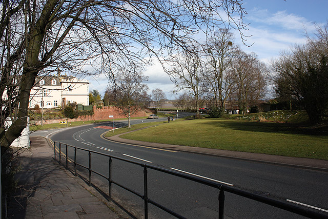
Image: © Pauline E Taken: 26 Feb 2010
The large house to the left is Unlawater. For more information, click Image
Images are licensed for reuse under creativecommons.org/licenses/by-sa/2.0
Image Location
Latitude
51.805732
Longitude
-2.447514