The Downshire Road, Banbridge
Introduction
The photograph on this page of The Downshire Road, Banbridge by Albert Bridge as part of the Geograph project.
The Geograph project started in 2005 with the aim of publishing, organising and preserving representative images for every square kilometre of Great Britain, Ireland and the Isle of Man.

There are currently over 7.5m images from over 14,400 individuals and you can help contribute to the project by visiting https://www.geograph.org.uk
The Downshire Road, Banbridge
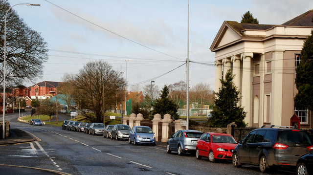
Image: © Albert Bridge Taken: 28 Feb 2010
The Downshire Road runs from the bottom of Bridge Street to the Huntly Road (background). The Unitarian church Image is on the right. Hard to imagine now but the railway to Castlewellan and Newcastle once crossed, by a bridge, close to the end of the line of parked cars (right).
Images are licensed for reuse under creativecommons.org/licenses/by-sa/2.0
Image Location
Latitude
54.351812
Longitude
-6.270221