Clarence Lido
Introduction
The photograph on this page of Clarence Lido by Peter Teal as part of the Geograph project.
The Geograph project started in 2005 with the aim of publishing, organising and preserving representative images for every square kilometre of Great Britain, Ireland and the Isle of Man.

There are currently over 7.5m images from over 14,400 individuals and you can help contribute to the project by visiting https://www.geograph.org.uk
Clarence Lido
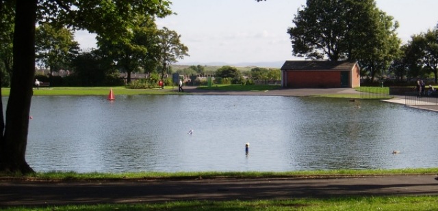
Image: © Peter Teal Taken: 17 Jul 2008
Clarence Recreation Ground looking across the lake to the model Boat house and south towards Bury town.
Images are licensed for reuse under creativecommons.org/licenses/by-sa/2.0
Image Location
Latitude
53.606192
Longitude
-2.288166