2010 : Looking east on Bratton Road
Introduction
The photograph on this page of 2010 : Looking east on Bratton Road by Maurice Pullin as part of the Geograph project.
The Geograph project started in 2005 with the aim of publishing, organising and preserving representative images for every square kilometre of Great Britain, Ireland and the Isle of Man.

There are currently over 7.5m images from over 14,400 individuals and you can help contribute to the project by visiting https://www.geograph.org.uk
2010 : Looking east on Bratton Road
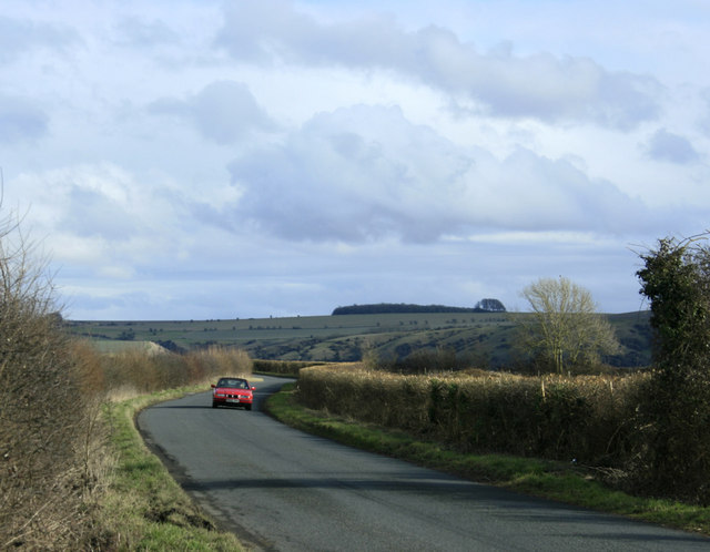
Image: © Maurice Pullin Taken: 21 Feb 2010
Near Cresswell Down Farm. Bratton Road takes the traveller from West Ashton through Dunge and on to Bratton via Trowbridge Road. The hill crossing the background is the northern escarpment of Salisbury Plain above Edington.
Images are licensed for reuse under creativecommons.org/licenses/by-sa/2.0
Image Location


Leaflet Map data © OpenStreetMap
Latitude
51.286132
Longitude
-2.140904