Oak Hill Park
Introduction
The photograph on this page of Oak Hill Park by Martin Addison as part of the Geograph project.
The Geograph project started in 2005 with the aim of publishing, organising and preserving representative images for every square kilometre of Great Britain, Ireland and the Isle of Man.

There are currently over 7.5m images from over 14,400 individuals and you can help contribute to the project by visiting https://www.geograph.org.uk
Oak Hill Park
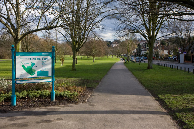
Image: © Martin Addison Taken: 26 Feb 2010
Looking along a footpath that runs parallel with Church Hill Road. The map board on the left displays the locations of a number of amenities within the park.
Images are licensed for reuse under creativecommons.org/licenses/by-sa/2.0
Image Location
Latitude
51.639754
Longitude
-0.161067