Pasture on Trannock Downs
Introduction
The photograph on this page of Pasture on Trannock Downs by Tony Atkin as part of the Geograph project.
The Geograph project started in 2005 with the aim of publishing, organising and preserving representative images for every square kilometre of Great Britain, Ireland and the Isle of Man.

There are currently over 7.5m images from over 14,400 individuals and you can help contribute to the project by visiting https://www.geograph.org.uk
Pasture on Trannock Downs
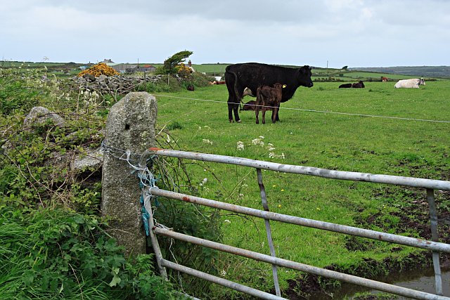
Image: © Tony Atkin Taken: 20 May 2006
The land here is underlain by granite and stands at about 170 metres high. It is not moorland however, it forms good pasture land.
Images are licensed for reuse under creativecommons.org/licenses/by-sa/2.0
Image Location


Leaflet Map data © OpenStreetMap
Latitude
50.133756
Longitude
-5.274357