Pritchard's Road
Introduction
The photograph on this page of Pritchard's Road by Dr Neil Clifton as part of the Geograph project.
The Geograph project started in 2005 with the aim of publishing, organising and preserving representative images for every square kilometre of Great Britain, Ireland and the Isle of Man.

There are currently over 7.5m images from over 14,400 individuals and you can help contribute to the project by visiting https://www.geograph.org.uk
Pritchard's Road
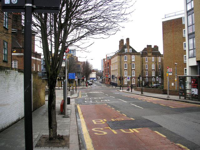
Image: © Dr Neil Clifton Taken: 25 Feb 2010
Looking south from Cat & Mutton Bridge, at the traffic lights Whiston Road comes in from the right, while Pritchard's Road veers left. The narrower road going straight on is Goldsmith's Row. In this picture, the boundary between the London Boroughs of Hackney and Tower Hamlets lies along the centre of Pritchard's Road, with Tower Hamlets to the left and Hackney to the right.
Images are licensed for reuse under creativecommons.org/licenses/by-sa/2.0
Image Location
Latitude
51.534415
Longitude
-0.063664