Wickham's Farm, Pirbright
Introduction
The photograph on this page of Wickham's Farm, Pirbright by Paul E Smith as part of the Geograph project.
The Geograph project started in 2005 with the aim of publishing, organising and preserving representative images for every square kilometre of Great Britain, Ireland and the Isle of Man.

There are currently over 7.5m images from over 14,400 individuals and you can help contribute to the project by visiting https://www.geograph.org.uk
Wickham's Farm, Pirbright
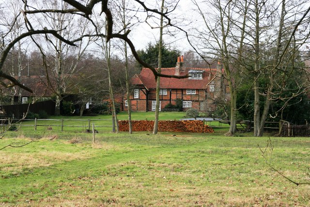
Image: © Paul E Smith Taken: 31 Jan 2010
Rear aspect of Wickham's Farm with beautifully stacked logs, viewed from the footpath which runs from Cook's Green to Pirbright church.
Images are licensed for reuse under creativecommons.org/licenses/by-sa/2.0
Image Location
Latitude
51.296898
Longitude
-0.652303