Sugley Dene
Introduction
The photograph on this page of Sugley Dene by Mike Quinn as part of the Geograph project.
The Geograph project started in 2005 with the aim of publishing, organising and preserving representative images for every square kilometre of Great Britain, Ireland and the Isle of Man.

There are currently over 7.5m images from over 14,400 individuals and you can help contribute to the project by visiting https://www.geograph.org.uk
Sugley Dene
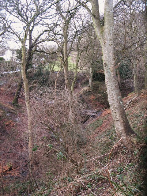
Image: © Mike Quinn Taken: 23 Feb 2010
The Vallum crossed the Dene here, and continued along the grassy area on the far side (just visible through the undergrowth) - see the satellite image http://wtp2.appspot.com/wheresthepath.htm?lat=54.98436143965019&lon=-1.6987985372543335&gz=18&oz=9>=1.
Images are licensed for reuse under creativecommons.org/licenses/by-sa/2.0
Image Location
Latitude
54.985264
Longitude
-1.703003