Branch line
Introduction
The photograph on this page of Branch line by Malc McDonald as part of the Geograph project.
The Geograph project started in 2005 with the aim of publishing, organising and preserving representative images for every square kilometre of Great Britain, Ireland and the Isle of Man.

There are currently over 7.5m images from over 14,400 individuals and you can help contribute to the project by visiting https://www.geograph.org.uk
Branch line
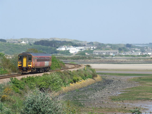
Image: © Malc McDonald Taken: 3 May 2007
St Ives branch line train hugging the Hayle estuary, approaching Lelant Saltings station
Images are licensed for reuse under creativecommons.org/licenses/by-sa/2.0
Image Location
Latitude
50.180106
Longitude
-5.4385