Field boundary near Rhydcymerau
Introduction
The photograph on this page of Field boundary near Rhydcymerau by Hywel Williams as part of the Geograph project.
The Geograph project started in 2005 with the aim of publishing, organising and preserving representative images for every square kilometre of Great Britain, Ireland and the Isle of Man.

There are currently over 7.5m images from over 14,400 individuals and you can help contribute to the project by visiting https://www.geograph.org.uk
Field boundary near Rhydcymerau
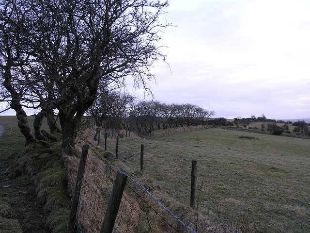
Image: © Hywel Williams Taken: 24 Feb 2010
The small hillock this field boundary is on is called Banc Cwm-Coed-Ifor and is typical of mid-Wales arable land.
Images are licensed for reuse under creativecommons.org/licenses/by-sa/2.0
Image Location


Leaflet Map data © OpenStreetMap
Latitude
52.024003
Longitude
-4.054834