Derelict scout hut
Introduction
The photograph on this page of Derelict scout hut by Bill Nicholls as part of the Geograph project.
The Geograph project started in 2005 with the aim of publishing, organising and preserving representative images for every square kilometre of Great Britain, Ireland and the Isle of Man.

There are currently over 7.5m images from over 14,400 individuals and you can help contribute to the project by visiting https://www.geograph.org.uk
Derelict scout hut
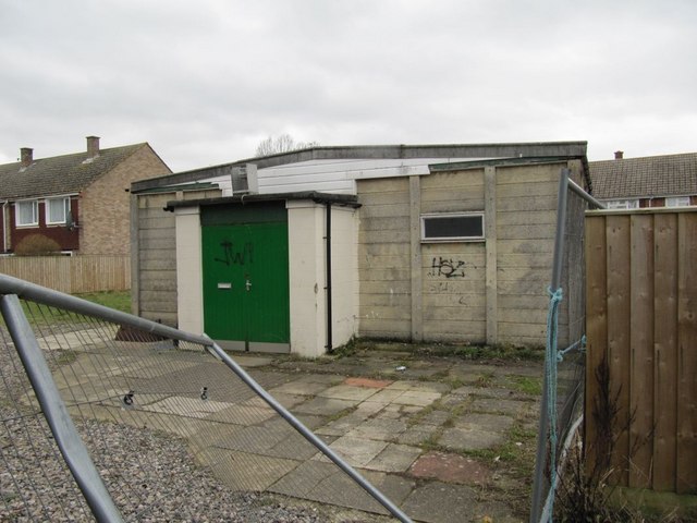
Image: © Bill Nicholls Taken: 13 Feb 2010
I might be wrong but I'm quite sure this is the old second Wallingford scout group hall.
Images are licensed for reuse under creativecommons.org/licenses/by-sa/2.0
Image Location
Latitude
51.602133
Longitude
-1.133782