Lower Hales
Introduction
The photograph on this page of Lower Hales by Simon Carey as part of the Geograph project.
The Geograph project started in 2005 with the aim of publishing, organising and preserving representative images for every square kilometre of Great Britain, Ireland and the Isle of Man.

There are currently over 7.5m images from over 14,400 individuals and you can help contribute to the project by visiting https://www.geograph.org.uk
Lower Hales
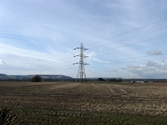
Image: © Simon Carey Taken: 20 Feb 2010
The name of this section of the field according to the 1838 tithe map which has been expanded to include Upper Hales to the north, Barley Piece and Barn Field to the south and an unnamed area to the west. The South Downs provide the backdrop.
Images are licensed for reuse under creativecommons.org/licenses/by-sa/2.0
Image Location
Latitude
50.829878
Longitude
0.294577