Footpath from Sarn Lane
Introduction
The photograph on this page of Footpath from Sarn Lane by John S Turner as part of the Geograph project.
The Geograph project started in 2005 with the aim of publishing, organising and preserving representative images for every square kilometre of Great Britain, Ireland and the Isle of Man.

There are currently over 7.5m images from over 14,400 individuals and you can help contribute to the project by visiting https://www.geograph.org.uk
Footpath from Sarn Lane
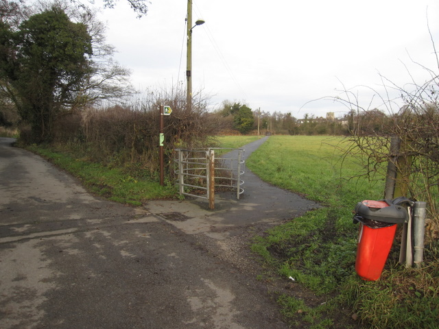
Image: © John S Turner Taken: 13 Dec 2009
Here Sarn Lane follows the square field boundary whilst this footpath takes the direct line across the corner. The name of the lane suggests that there was a Roman road nearby, but if so it would not have had a right-angled corner. The tower of Hope church can be seen in the far distance.
Images are licensed for reuse under creativecommons.org/licenses/by-sa/2.0
Image Location


Leaflet Map data © OpenStreetMap
Latitude
53.114286
Longitude
-3.038445