Greensand Way leaves Steeds Lane
Introduction
The photograph on this page of Greensand Way leaves Steeds Lane by David Anstiss as part of the Geograph project.
The Geograph project started in 2005 with the aim of publishing, organising and preserving representative images for every square kilometre of Great Britain, Ireland and the Isle of Man.

There are currently over 7.5m images from over 14,400 individuals and you can help contribute to the project by visiting https://www.geograph.org.uk
Greensand Way leaves Steeds Lane
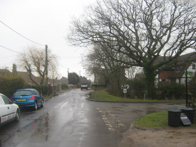
Image: © David Anstiss Taken: 21 Feb 2010
Steeds Lane from Bond Lane heads straight on towards Sticketts Farm and Meadow Farm. The long distance path heads right (via a byway) to Willow Farm and Braeside Farm.
Images are licensed for reuse under creativecommons.org/licenses/by-sa/2.0
Image Location
Latitude
51.108267
Longitude
0.867395