Nine Acres (1)
Introduction
The photograph on this page of Nine Acres (1) by Simon Carey as part of the Geograph project.
The Geograph project started in 2005 with the aim of publishing, organising and preserving representative images for every square kilometre of Great Britain, Ireland and the Isle of Man.

There are currently over 7.5m images from over 14,400 individuals and you can help contribute to the project by visiting https://www.geograph.org.uk
Nine Acres (1)
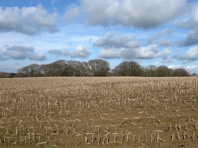
Image: © Simon Carey Taken: 20 Feb 2010
The name of the field according to the 1838 tithe map and looking across to an unnamed wood on the northern side of this small rise in ground.
Images are licensed for reuse under creativecommons.org/licenses/by-sa/2.0
Image Location
Latitude
50.832118
Longitude
0.290426