Cycle Track, Catterick Garrison
Introduction
The photograph on this page of Cycle Track, Catterick Garrison by Oliver Dixon as part of the Geograph project.
The Geograph project started in 2005 with the aim of publishing, organising and preserving representative images for every square kilometre of Great Britain, Ireland and the Isle of Man.

There are currently over 7.5m images from over 14,400 individuals and you can help contribute to the project by visiting https://www.geograph.org.uk
Cycle Track, Catterick Garrison
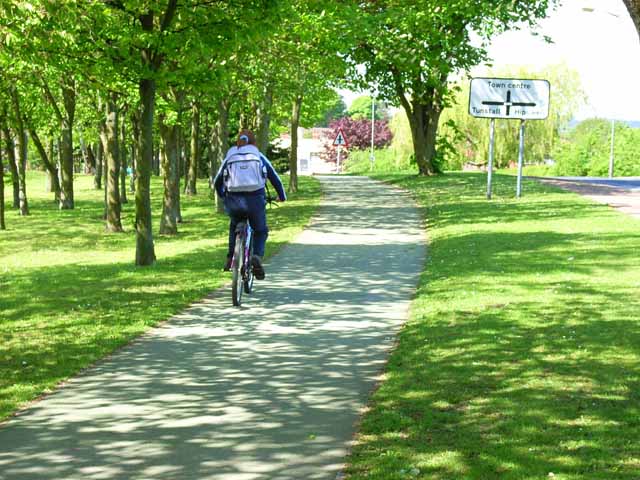
Image: © Oliver Dixon Taken: 18 May 2006
There is a tradition of cycling in military and naval bases, and in the last ten years a network of cycle tracks has been established throughout Catterick Garrison. This one runs just south of Catterick Road in a broad corridor once occupied by the old Catterick Camp railway.
Images are licensed for reuse under creativecommons.org/licenses/by-sa/2.0
Image Location
Latitude
54.37535
Longitude
-1.70748