Flood Damaged Footpath
Introduction
The photograph on this page of Flood Damaged Footpath by Mick Garratt as part of the Geograph project.
The Geograph project started in 2005 with the aim of publishing, organising and preserving representative images for every square kilometre of Great Britain, Ireland and the Isle of Man.

There are currently over 7.5m images from over 14,400 individuals and you can help contribute to the project by visiting https://www.geograph.org.uk
Flood Damaged Footpath
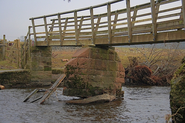
Image: © Mick Garratt Taken: 14 Feb 2010
Over the River Eamont. A sign says the bridge is closed. As a result of the floods in November 2009.
Images are licensed for reuse under creativecommons.org/licenses/by-sa/2.0
Image Location
Latitude
54.639862
Longitude
-2.775128