Field by the Lane to Duffus
Introduction
The photograph on this page of Field by the Lane to Duffus by Anne Burgess as part of the Geograph project.
The Geograph project started in 2005 with the aim of publishing, organising and preserving representative images for every square kilometre of Great Britain, Ireland and the Isle of Man.

There are currently over 7.5m images from over 14,400 individuals and you can help contribute to the project by visiting https://www.geograph.org.uk
Field by the Lane to Duffus
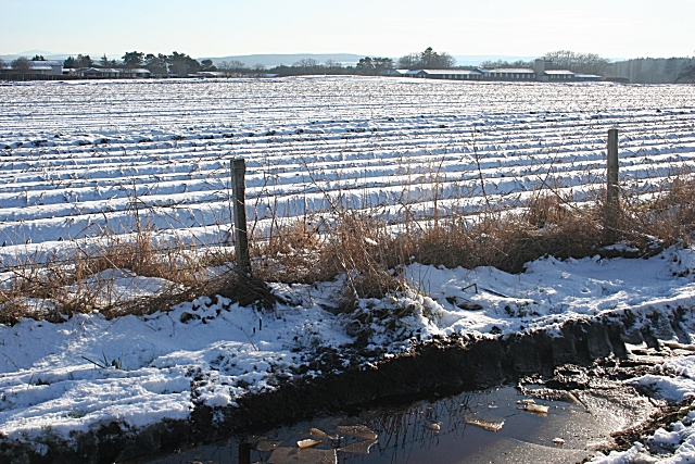
Image: © Anne Burgess Taken: 20 Feb 2010
Beyond the ploughed land are some of the buildings of Gordonstoun School. Compare with Image] which is a similar view taken in summer.
Images are licensed for reuse under creativecommons.org/licenses/by-sa/2.0
Image Location
Latitude
57.707767
Longitude
-3.36315