Northern Common becomes Rod Moor Road
Introduction
The photograph on this page of Northern Common becomes Rod Moor Road by Peter Barr as part of the Geograph project.
The Geograph project started in 2005 with the aim of publishing, organising and preserving representative images for every square kilometre of Great Britain, Ireland and the Isle of Man.

There are currently over 7.5m images from over 14,400 individuals and you can help contribute to the project by visiting https://www.geograph.org.uk
Northern Common becomes Rod Moor Road
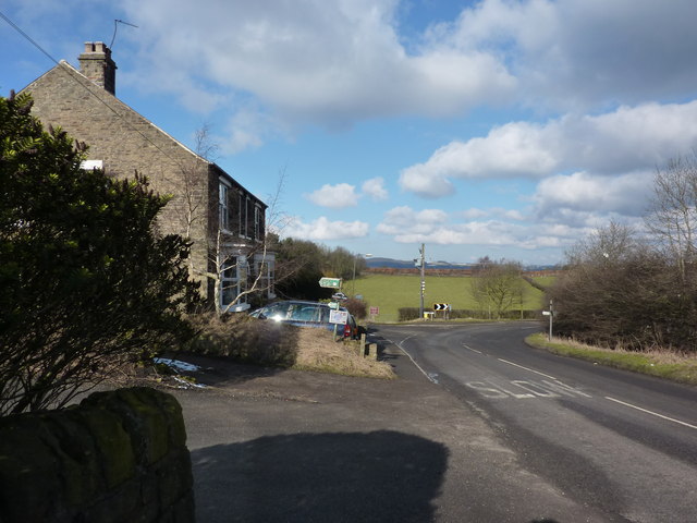
Image: © Peter Barr Taken: 20 Feb 2010
At the junction, Rod Moor on the right, and Mickley Lane on the left
Images are licensed for reuse under creativecommons.org/licenses/by-sa/2.0
Image Location
Latitude
53.308738
Longitude
-1.510709