Open meadow at Par Pond
Introduction
The photograph on this page of Open meadow at Par Pond by Kate Jewell as part of the Geograph project.
The Geograph project started in 2005 with the aim of publishing, organising and preserving representative images for every square kilometre of Great Britain, Ireland and the Isle of Man.

There are currently over 7.5m images from over 14,400 individuals and you can help contribute to the project by visiting https://www.geograph.org.uk
Open meadow at Par Pond
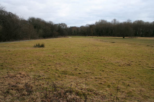
Image: © Kate Jewell Taken: 9 Feb 2010
This open grass land is a pleasant relief after walking through the dense wet woodland at Par Pond. The trees that surround this meadow, mainly alder and willow, are able to absorb oxygen from waterlogged areas and have their roots in water.
Images are licensed for reuse under creativecommons.org/licenses/by-sa/2.0
Image Location
Latitude
50.356587
Longitude
-4.708403