Lugton Water
Introduction
The photograph on this page of Lugton Water by wfmillar as part of the Geograph project.
The Geograph project started in 2005 with the aim of publishing, organising and preserving representative images for every square kilometre of Great Britain, Ireland and the Isle of Man.

There are currently over 7.5m images from over 14,400 individuals and you can help contribute to the project by visiting https://www.geograph.org.uk
Lugton Water
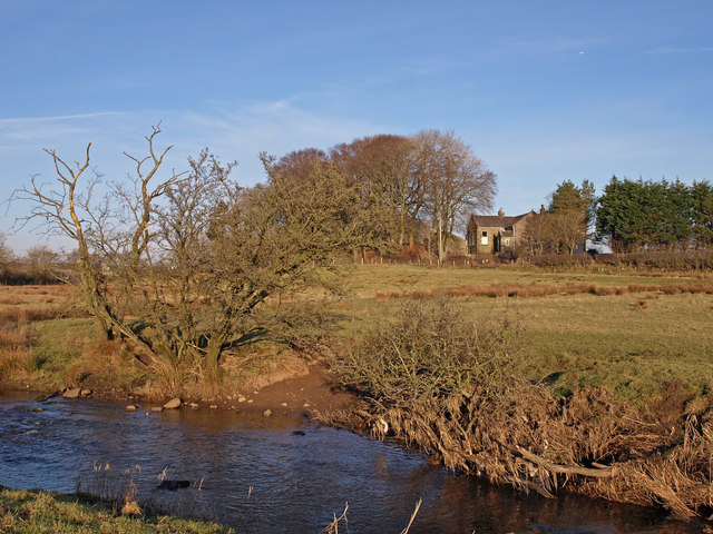
Image: © wfmillar Taken: 19 Feb 2010
The house is called Rivendell or on the Explorer map The Old School.
Images are licensed for reuse under creativecommons.org/licenses/by-sa/2.0
Image Location
Latitude
55.683166
Longitude
-4.607215