Craigdouffie Burn, old lade to Auchincloch
Introduction
The photograph on this page of Craigdouffie Burn, old lade to Auchincloch by Robert Murray as part of the Geograph project.
The Geograph project started in 2005 with the aim of publishing, organising and preserving representative images for every square kilometre of Great Britain, Ireland and the Isle of Man.

There are currently over 7.5m images from over 14,400 individuals and you can help contribute to the project by visiting https://www.geograph.org.uk
Craigdouffie Burn, old lade to Auchincloch
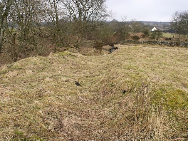
Image: © Robert Murray Taken: 18 Feb 2010
As the title suggests this lade took water from the Craigdouffie Burn to a corn mill at Auchincloch almost mile to the south east astride the A803 Kilsyth - Banknock road. Filled in circa.1975 according to a long time local resident of Mailings this lade was 3/4 of a mile (1.25km) long between the weir and where it joined the Auchincloch burn.
Images are licensed for reuse under creativecommons.org/licenses/by-sa/2.0
Image Location
Latitude
55.993658
Longitude
-3.99949