Craigdouffie Burn (W)
Introduction
The photograph on this page of Craigdouffie Burn (W) by Robert Murray as part of the Geograph project.
The Geograph project started in 2005 with the aim of publishing, organising and preserving representative images for every square kilometre of Great Britain, Ireland and the Isle of Man.

There are currently over 7.5m images from over 14,400 individuals and you can help contribute to the project by visiting https://www.geograph.org.uk
Craigdouffie Burn (W)
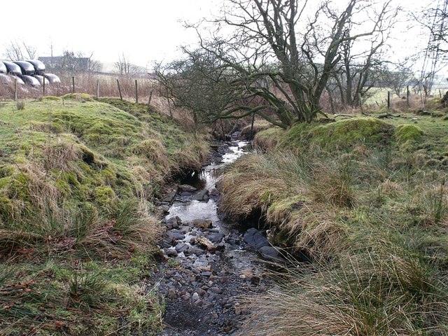
Image: © Robert Murray Taken: 18 Feb 2010
Flowing towards its confluence with the eastern tributary.
Images are licensed for reuse under creativecommons.org/licenses/by-sa/2.0
Image Location
Latitude
55.994477
Longitude
-3.998891