St Giles' churchyard, Blendworth
Introduction
The photograph on this page of St Giles' churchyard, Blendworth by Martyn Pattison as part of the Geograph project.
The Geograph project started in 2005 with the aim of publishing, organising and preserving representative images for every square kilometre of Great Britain, Ireland and the Isle of Man.

There are currently over 7.5m images from over 14,400 individuals and you can help contribute to the project by visiting https://www.geograph.org.uk
St Giles' churchyard, Blendworth
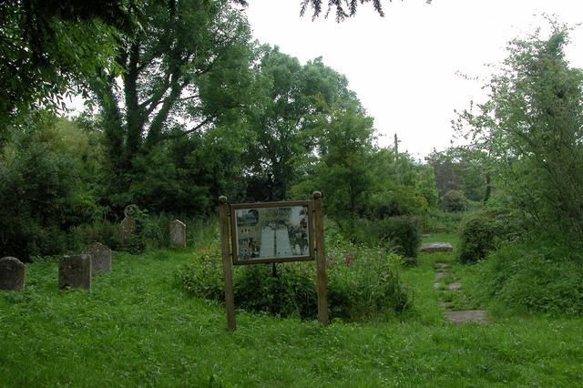
Image: © Martyn Pattison Taken: 6 Jun 2005
The church of St. Giles was replaced by Holy Trinity in the mid 19th C. The building was retained until the 1960s when it was demolished, leaving only the churchyard and outline of the old church in the flagstones.
Images are licensed for reuse under creativecommons.org/licenses/by-sa/2.0
Image Location


Leaflet Map data © OpenStreetMap
Latitude
50.917334
Longitude
-0.982103