Railway to Sittingbourne
Introduction
The photograph on this page of Railway to Sittingbourne by David Anstiss as part of the Geograph project.
The Geograph project started in 2005 with the aim of publishing, organising and preserving representative images for every square kilometre of Great Britain, Ireland and the Isle of Man.

There are currently over 7.5m images from over 14,400 individuals and you can help contribute to the project by visiting https://www.geograph.org.uk
Railway to Sittingbourne
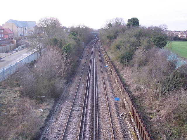
Image: © David Anstiss Taken: 16 Feb 2010
As seen from Image This line leads from the Isle of Sheppey (Sheerness and Queenborough Stations) to Sittingbourne via Kemsley. More houses for Kemsley are being built on the left. In the background (along the line) is Hurst Lane footbridge.
Images are licensed for reuse under creativecommons.org/licenses/by-sa/2.0
Image Location
Latitude
51.366177
Longitude
0.737793