Bosworth Drive
Introduction
The photograph on this page of Bosworth Drive by Chris Page as part of the Geograph project.
The Geograph project started in 2005 with the aim of publishing, organising and preserving representative images for every square kilometre of Great Britain, Ireland and the Isle of Man.

There are currently over 7.5m images from over 14,400 individuals and you can help contribute to the project by visiting https://www.geograph.org.uk
Bosworth Drive
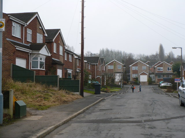
Image: © Chris Page Taken: 17 Feb 2010
A residential street right on the edge of Eastwood/Newthorpe, built circa 1960s. Partly built on the old site of Moorgreen Colliery and its related workings. The road is short, but tracks an old railway which existed on the site. This railway is now a narrow footpath leading from Mill Road to Engine Lane, passing directly behind the houses on the left.
Images are licensed for reuse under creativecommons.org/licenses/by-sa/2.0
Image Location
Latitude
53.021236
Longitude
-1.290049