Carr Lane
Introduction
The photograph on this page of Carr Lane by David Wright as part of the Geograph project.
The Geograph project started in 2005 with the aim of publishing, organising and preserving representative images for every square kilometre of Great Britain, Ireland and the Isle of Man.

There are currently over 7.5m images from over 14,400 individuals and you can help contribute to the project by visiting https://www.geograph.org.uk
Carr Lane
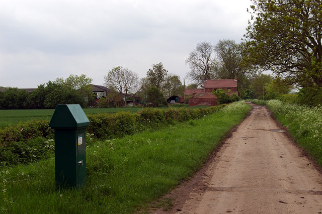
Image: © David Wright Taken: 17 May 2006
Picture taken looking SSE towards Sedgeworth Farm. The green object in the left foreground is an Anglian Water facility. It is labelled "Winterton Carr Lane Borehole N.G.R. SE 947 187".
Images are licensed for reuse under creativecommons.org/licenses/by-sa/2.0
Image Location
Latitude
53.655331
Longitude
-0.568575