Crowsnest Dingle
Introduction
The photograph on this page of Crowsnest Dingle by David Gruar as part of the Geograph project.
The Geograph project started in 2005 with the aim of publishing, organising and preserving representative images for every square kilometre of Great Britain, Ireland and the Isle of Man.

There are currently over 7.5m images from over 14,400 individuals and you can help contribute to the project by visiting https://www.geograph.org.uk
Crowsnest Dingle
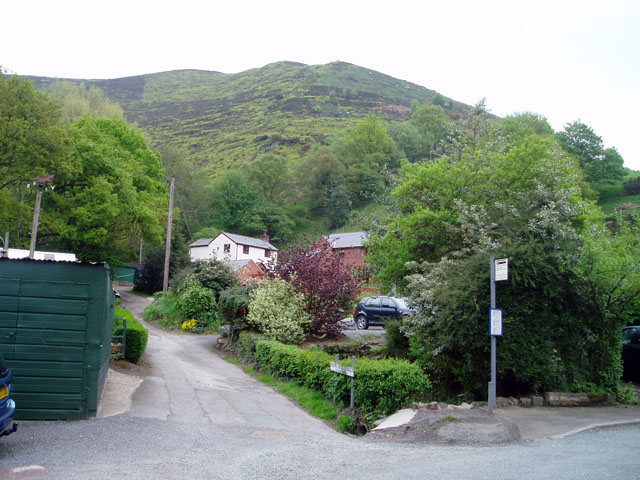
Image: © David Gruar Taken: 14 May 2006
The word Dingle is used a lot in Shropshire for a steep sided valley. The next valley to the South along the Stiperstones is called Mytton Dingle.
Images are licensed for reuse under creativecommons.org/licenses/by-sa/2.0
Image Location


Leaflet Map data © OpenStreetMap
Latitude
52.607599
Longitude
-2.933233