Bowersfield Conservation (view NW)
Introduction
The photograph on this page of Bowersfield Conservation (view NW) by Philip Barker as part of the Geograph project.
The Geograph project started in 2005 with the aim of publishing, organising and preserving representative images for every square kilometre of Great Britain, Ireland and the Isle of Man.

There are currently over 7.5m images from over 14,400 individuals and you can help contribute to the project by visiting https://www.geograph.org.uk
Bowersfield Conservation (view NW)
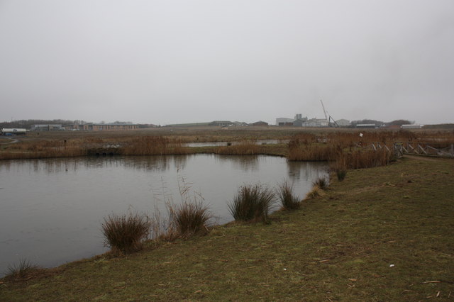
Image: © Philip Barker Taken: 17 Feb 2010
This photograph shows a view of a section of the Bowesfield Conservation area which lies just to the west of the River Tees near The Holmes. The picture was taken looking in a north westerly direction towards the Bowesfield Industrial Estate. The land beyond the conservation area is undergoing rapid commercial development.
Images are licensed for reuse under creativecommons.org/licenses/by-sa/2.0
Image Location
Latitude
54.542627
Longitude
-1.314294