One end of the Horseshoe
Introduction
The photograph on this page of One end of the Horseshoe by Lairich Rig as part of the Geograph project.
The Geograph project started in 2005 with the aim of publishing, organising and preserving representative images for every square kilometre of Great Britain, Ireland and the Isle of Man.

There are currently over 7.5m images from over 14,400 individuals and you can help contribute to the project by visiting https://www.geograph.org.uk
One end of the Horseshoe
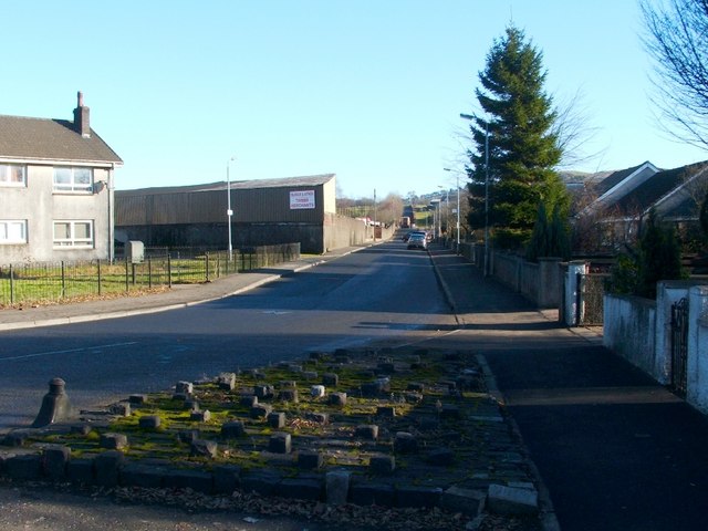
Image: © Lairich Rig Taken: 12 Feb 2010
The photograph was taken from the foot of the road, where it meets Main Street. The yard of a local firm of timber merchants can be seen on the left-hand side of the road. This stretch of road is one end of a route that is known locally, on account of its shape, as the Horseshoe. See http://www.geograph.org.uk/photo/1713070 for the other end of the route.
Images are licensed for reuse under creativecommons.org/licenses/by-sa/2.0
Image Location
Latitude
55.993457
Longitude
-4.568099