Alderney: Bourne Bottom
Introduction
The photograph on this page of Alderney: Bourne Bottom by Chris Downer as part of the Geograph project.
The Geograph project started in 2005 with the aim of publishing, organising and preserving representative images for every square kilometre of Great Britain, Ireland and the Isle of Man.

There are currently over 7.5m images from over 14,400 individuals and you can help contribute to the project by visiting https://www.geograph.org.uk
Alderney: Bourne Bottom
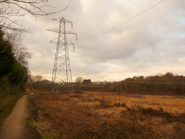
Image: © Chris Downer Taken: 14 Feb 2010
The wide, shallow valley, wherein the Bourne stream starts its journey to central Bournemouth, is a public open space and Local Nature Reserve. Here we see the main track running along its length, from St. Brelade's Avenue to Bloxworth Road, with the electricity pylons parallel above it.
Images are licensed for reuse under creativecommons.org/licenses/by-sa/2.0
Image Location
Latitude
50.748371
Longitude
-1.927943