Alderney: footbridge at Bourne Bottom
Introduction
The photograph on this page of Alderney: footbridge at Bourne Bottom by Chris Downer as part of the Geograph project.
The Geograph project started in 2005 with the aim of publishing, organising and preserving representative images for every square kilometre of Great Britain, Ireland and the Isle of Man.

There are currently over 7.5m images from over 14,400 individuals and you can help contribute to the project by visiting https://www.geograph.org.uk
Alderney: footbridge at Bourne Bottom
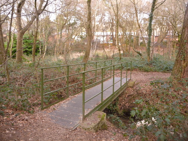
Image: © Chris Downer Taken: 14 Feb 2010
This metal bridge crosses the Bourne Stream early on its journey – it will reach the coast after a few miles, at Bournemouth pier.
Images are licensed for reuse under creativecommons.org/licenses/by-sa/2.0
Image Location
Latitude
50.751162
Longitude
-1.933325