The Borough Arms
Introduction
The photograph on this page of The Borough Arms by Ant Basterfield as part of the Geograph project.
The Geograph project started in 2005 with the aim of publishing, organising and preserving representative images for every square kilometre of Great Britain, Ireland and the Isle of Man.

There are currently over 7.5m images from over 14,400 individuals and you can help contribute to the project by visiting https://www.geograph.org.uk
The Borough Arms
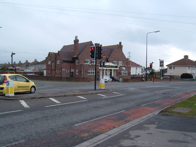
Image: © Ant Basterfield Taken: 16 Feb 2010
Here is a typical public house that was built in the late 1920's early 1930's. Its former name was "The Heron", the corner plot being at the junction of Locking Moor Road and Locking Road.
Images are licensed for reuse under creativecommons.org/licenses/by-sa/2.0
Image Location
Latitude
51.350217
Longitude
-2.943068