Cycle Path looking West South West
Introduction
The photograph on this page of Cycle Path looking West South West by Ant Basterfield as part of the Geograph project.
The Geograph project started in 2005 with the aim of publishing, organising and preserving representative images for every square kilometre of Great Britain, Ireland and the Isle of Man.

There are currently over 7.5m images from over 14,400 individuals and you can help contribute to the project by visiting https://www.geograph.org.uk
Cycle Path looking West South West
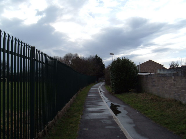
Image: © Ant Basterfield Taken: 16 Feb 2010
Here this Cycle path as it leaves Ewart Road and heads into toward Weston town centre,the fence at left is another recreation ground
Images are licensed for reuse under creativecommons.org/licenses/by-sa/2.0
Image Location
Latitude
51.352166
Longitude
-2.946698