Frog's Lane meets Maytham Road
Introduction
The photograph on this page of Frog's Lane meets Maytham Road by David Anstiss as part of the Geograph project.
The Geograph project started in 2005 with the aim of publishing, organising and preserving representative images for every square kilometre of Great Britain, Ireland and the Isle of Man.

There are currently over 7.5m images from over 14,400 individuals and you can help contribute to the project by visiting https://www.geograph.org.uk
Frog's Lane meets Maytham Road
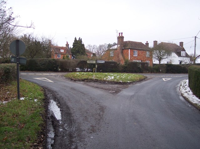
Image: © David Anstiss Taken: 14 Jan 2010
Frog's Lane from the A28 Hastings Road heads into Rolvenden Layne village. Maytham Road leads right towards Potman's Heath, from Rolvenden.
Images are licensed for reuse under creativecommons.org/licenses/by-sa/2.0
Image Location
Latitude
51.041861
Longitude
0.639583