Footpath junction on Walkhurst Road
Introduction
The photograph on this page of Footpath junction on Walkhurst Road by David Anstiss as part of the Geograph project.
The Geograph project started in 2005 with the aim of publishing, organising and preserving representative images for every square kilometre of Great Britain, Ireland and the Isle of Man.

There are currently over 7.5m images from over 14,400 individuals and you can help contribute to the project by visiting https://www.geograph.org.uk
Footpath junction on Walkhurst Road
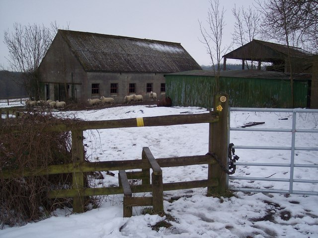
Image: © David Anstiss Taken: 14 Jan 2010
This stile is at the junction of a path No.WC350 leading left towards Nine Acre Wood and Mount le Hoe and path No.WC351 leading right towards the B2086 Benenden Road near Beacon Hill.
Images are licensed for reuse under creativecommons.org/licenses/by-sa/2.0
Image Location
Latitude
51.070831
Longitude
0.590982