Billy Wynt
Introduction
The photograph on this page of Billy Wynt by Nigel Davies as part of the Geograph project.
The Geograph project started in 2005 with the aim of publishing, organising and preserving representative images for every square kilometre of Great Britain, Ireland and the Isle of Man.

There are currently over 7.5m images from over 14,400 individuals and you can help contribute to the project by visiting https://www.geograph.org.uk
Billy Wynt
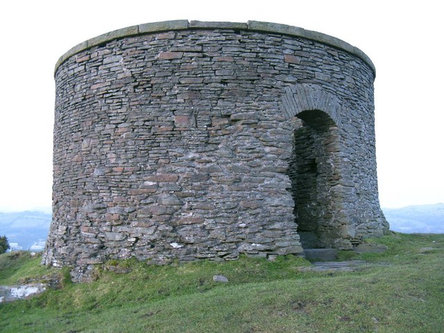
Image: © Nigel Davies Taken: 6 Feb 2010
Opinions vary as to whether this was the location of a windmill or a fortification. Either way the original damaged structure has been rebuilt as a folly. The hilltop location provides quite a view.
Images are licensed for reuse under creativecommons.org/licenses/by-sa/2.0
Image Location
Latitude
51.542209
Longitude
-3.38144