Coulsdon: 1-27 Stoats Nest Road
Introduction
The photograph on this page of Coulsdon: 1-27 Stoats Nest Road by Dr Neil Clifton as part of the Geograph project.
The Geograph project started in 2005 with the aim of publishing, organising and preserving representative images for every square kilometre of Great Britain, Ireland and the Isle of Man.

There are currently over 7.5m images from over 14,400 individuals and you can help contribute to the project by visiting https://www.geograph.org.uk
Coulsdon: 1-27 Stoats Nest Road
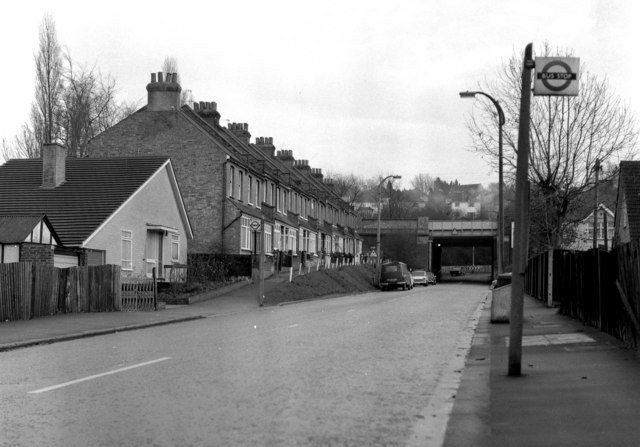
Image: © Dr Neil Clifton Taken: 23 Nov 2006
Looking east. This is the B2030 and continues to Old Coulsdon. The London Transport bus stop then shown was correct, even though the only routes that then used it were the 409 and 411 of London Country, which was then part of London Transport.
Images are licensed for reuse under creativecommons.org/licenses/by-sa/2.0
Image Location
Latitude
51.326136
Longitude
-0.129576