Triangulation pillar, Hartlebury Common
Introduction
The photograph on this page of Triangulation pillar, Hartlebury Common by P L Chadwick as part of the Geograph project.
The Geograph project started in 2005 with the aim of publishing, organising and preserving representative images for every square kilometre of Great Britain, Ireland and the Isle of Man.

There are currently over 7.5m images from over 14,400 individuals and you can help contribute to the project by visiting https://www.geograph.org.uk
Triangulation pillar, Hartlebury Common
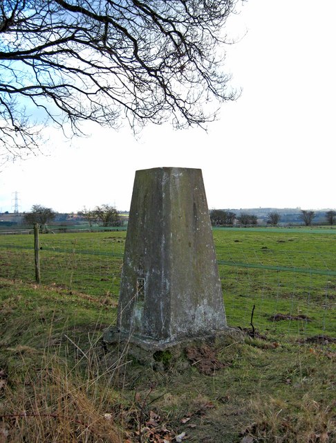
Image: © P L Chadwick Taken: 14 Feb 2010
These triangulation structures, used for surveying, have increasingly been overtaken by modern technology. This one remains on the edge of Hartlebury Common, by the side of a footpath.
Images are licensed for reuse under creativecommons.org/licenses/by-sa/2.0
Image Location
Latitude
52.339323
Longitude
-2.255635