Towards Thompsonhall Plantation
Introduction
The photograph on this page of Towards Thompsonhall Plantation by Katy Walters as part of the Geograph project.
The Geograph project started in 2005 with the aim of publishing, organising and preserving representative images for every square kilometre of Great Britain, Ireland and the Isle of Man.

There are currently over 7.5m images from over 14,400 individuals and you can help contribute to the project by visiting https://www.geograph.org.uk
Towards Thompsonhall Plantation
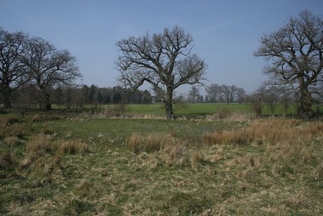
Image: © Katy Walters Taken: 21 Mar 2009
Across rough grassland, on the Pingo Trail between Butter's Hall Lane and Thompson Carr. This photo is part of a series following the route clockwise. Next: Image] Previous: Image]
Images are licensed for reuse under creativecommons.org/licenses/by-sa/2.0
Image Location
Latitude
52.523738
Longitude
0.839022