Laurel Walk Plantation
Introduction
The photograph on this page of Laurel Walk Plantation by Philip Barker as part of the Geograph project.
The Geograph project started in 2005 with the aim of publishing, organising and preserving representative images for every square kilometre of Great Britain, Ireland and the Isle of Man.

There are currently over 7.5m images from over 14,400 individuals and you can help contribute to the project by visiting https://www.geograph.org.uk
Laurel Walk Plantation
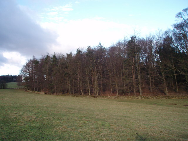
Image: © Philip Barker Taken: 13 Feb 2010
This photograph shows a view of the southern tip of Laurels Walk Plantation in Sedbury Park. The picture was taken looking in a north-easterly direction from the public footpath that goes from Beeches Walk Plantation to the minor road near Gilling West.
Images are licensed for reuse under creativecommons.org/licenses/by-sa/2.0
Image Location
Latitude
54.44273
Longitude
-1.698365