Yetminster: The White Hart
Introduction
The photograph on this page of Yetminster: The White Hart by Mr Eugene Birchall as part of the Geograph project.
The Geograph project started in 2005 with the aim of publishing, organising and preserving representative images for every square kilometre of Great Britain, Ireland and the Isle of Man.

There are currently over 7.5m images from over 14,400 individuals and you can help contribute to the project by visiting https://www.geograph.org.uk
Yetminster: The White Hart
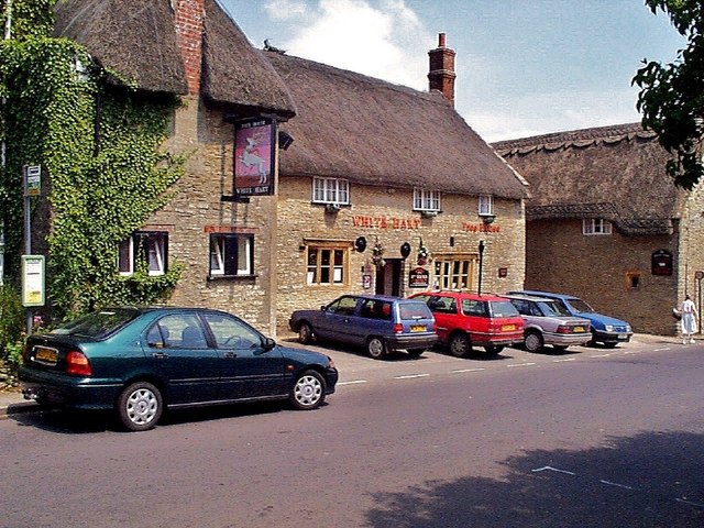
Image: © Mr Eugene Birchall Taken: 12 Jul 1999
Early digital photo of the White Hart, Yetminster, Dorset. The village home of the folk group "The Yetties"
Images are licensed for reuse under creativecommons.org/licenses/by-sa/2.0
Image Location
Latitude
50.895692
Longitude
-2.578945