Old sign, Cherryhill Road, Dundonald
Introduction
The photograph on this page of Old sign, Cherryhill Road, Dundonald by Dean Molyneaux as part of the Geograph project.
The Geograph project started in 2005 with the aim of publishing, organising and preserving representative images for every square kilometre of Great Britain, Ireland and the Isle of Man.

There are currently over 7.5m images from over 14,400 individuals and you can help contribute to the project by visiting https://www.geograph.org.uk
Old sign, Cherryhill Road, Dundonald
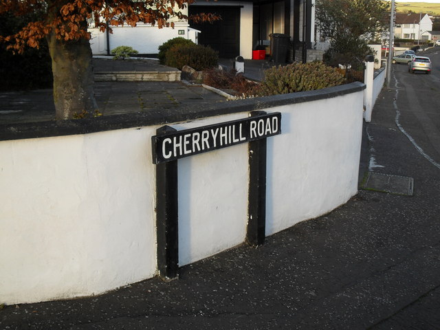
Image: © Dean Molyneaux Taken: 12 Feb 2010
I'm not sure which local authority put this sign up - I'd guess Castlereagh Rural District Council as Dundonald was incorporated into the Castlereagh Borough in the reforms of 1973. Probably original to the street - which sprung up in the 1960s.
Images are licensed for reuse under creativecommons.org/licenses/by-sa/2.0
Image Location
Latitude
54.595863
Longitude
-5.801556