Ballyregan Road, Dundonald
Introduction
The photograph on this page of Ballyregan Road, Dundonald by Dean Molyneaux as part of the Geograph project.
The Geograph project started in 2005 with the aim of publishing, organising and preserving representative images for every square kilometre of Great Britain, Ireland and the Isle of Man.

There are currently over 7.5m images from over 14,400 individuals and you can help contribute to the project by visiting https://www.geograph.org.uk
Ballyregan Road, Dundonald
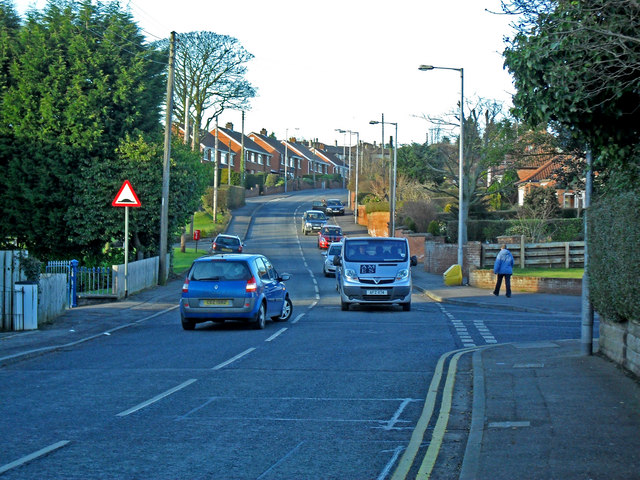
Image: © Dean Molyneaux Taken: 12 Feb 2010
The Ballyregan Road leads northwards from the main A20 Upper Newtownards Road in Dundonald village, into the hills to Craigantlet - providing a link to Holywood and the rest of North Down.
Images are licensed for reuse under creativecommons.org/licenses/by-sa/2.0
Image Location
Latitude
54.595914
Longitude
-5.804338