View down the High Street, Hindon
Introduction
The photograph on this page of View down the High Street, Hindon by Hindonite as part of the Geograph project.
The Geograph project started in 2005 with the aim of publishing, organising and preserving representative images for every square kilometre of Great Britain, Ireland and the Isle of Man.

There are currently over 7.5m images from over 14,400 individuals and you can help contribute to the project by visiting https://www.geograph.org.uk
View down the High Street, Hindon
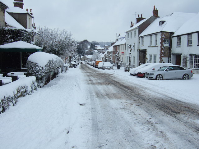
Image: © Hindonite Taken: 6 Jan 2010
View down the High Street, Hindon, from outside the Lamb Inn. The Village Hall is visible at the bottom of the hill.
Images are licensed for reuse under creativecommons.org/licenses/by-sa/2.0
Image Location
Latitude
51.093451
Longitude
-2.126608