Bournemouth: Suffolk Road South
Introduction
The photograph on this page of Bournemouth: Suffolk Road South by Chris Downer as part of the Geograph project.
The Geograph project started in 2005 with the aim of publishing, organising and preserving representative images for every square kilometre of Great Britain, Ireland and the Isle of Man.

There are currently over 7.5m images from over 14,400 individuals and you can help contribute to the project by visiting https://www.geograph.org.uk
Bournemouth: Suffolk Road South
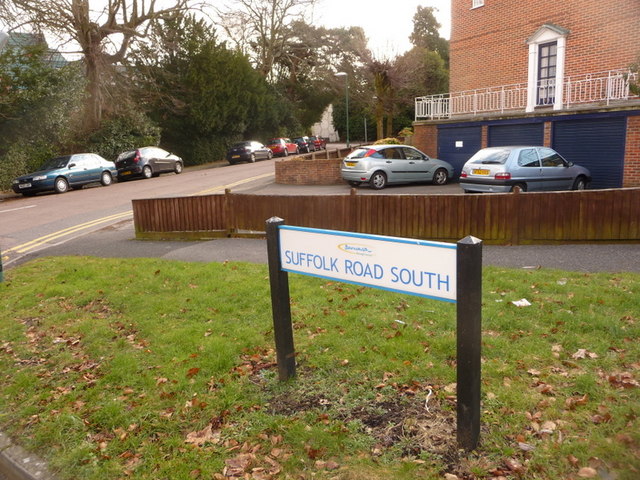
Image: © Chris Downer Taken: 11 Feb 2010
Before the by-pass dual carriageways were constructed in the early 1970s, Suffolk Road was a through route which can be visualised from the current map. It ran from The Triangle, roughly northwest, and then split into two arms, this being the more northern one. It is thus rather odd that the other two arms should retain the name of plain Suffolk Road, while ‘South’ rather than ‘North’ was suffixed to this segment.
Images are licensed for reuse under creativecommons.org/licenses/by-sa/2.0
Image Location
Latitude
50.723073
Longitude
-1.891715