Burngreen and the Garrel Burn, Kilsyth
Introduction
The photograph on this page of Burngreen and the Garrel Burn, Kilsyth by Robert Murray as part of the Geograph project.
The Geograph project started in 2005 with the aim of publishing, organising and preserving representative images for every square kilometre of Great Britain, Ireland and the Isle of Man.

There are currently over 7.5m images from over 14,400 individuals and you can help contribute to the project by visiting https://www.geograph.org.uk
Burngreen and the Garrel Burn, Kilsyth
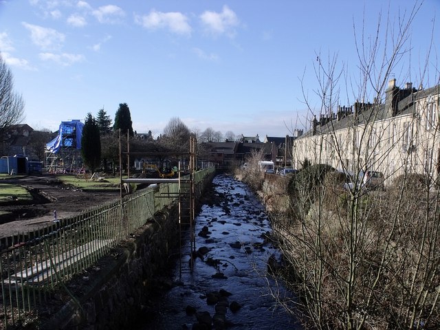
Image: © Robert Murray Taken: 10 Feb 2010
Recording the upgrade work being done to the green. Now that the overgrown firs have been felled the residents of Dunreath terrace alongside the burn no doubt the low wintery sun like today's - something their windows haven't been blessed with for many a year.
Images are licensed for reuse under creativecommons.org/licenses/by-sa/2.0
Image Location
Latitude
55.977559
Longitude
-4.054917