Underpass under the Wellesbourne bypass
Introduction
The photograph on this page of Underpass under the Wellesbourne bypass by David P Howard as part of the Geograph project.
The Geograph project started in 2005 with the aim of publishing, organising and preserving representative images for every square kilometre of Great Britain, Ireland and the Isle of Man.

There are currently over 7.5m images from over 14,400 individuals and you can help contribute to the project by visiting https://www.geograph.org.uk
Underpass under the Wellesbourne bypass
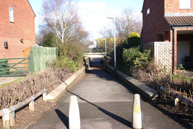
Image: © David P Howard Taken: 10 Feb 2010
Compare this view with the one when the underpass was being constructed. Image
Images are licensed for reuse under creativecommons.org/licenses/by-sa/2.0
Image Location


Leaflet Map data © OpenStreetMap
Latitude
52.190672
Longitude
-1.599577