Stile near Honeypot Farm
Introduction
The photograph on this page of Stile near Honeypot Farm by John Baker as part of the Geograph project.
The Geograph project started in 2005 with the aim of publishing, organising and preserving representative images for every square kilometre of Great Britain, Ireland and the Isle of Man.

There are currently over 7.5m images from over 14,400 individuals and you can help contribute to the project by visiting https://www.geograph.org.uk
Stile near Honeypot Farm
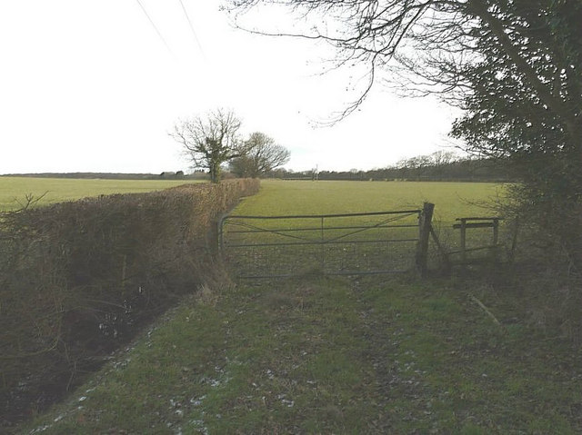
Image: © John Baker Taken: 31 Jan 2010
A footpath follows the hedge in the direction of Swanton Farm, while another footpath follows the same course along the hedge but soon bears away in the direction of Hodge's Wood.
Images are licensed for reuse under creativecommons.org/licenses/by-sa/2.0
Image Location
Latitude
51.088431
Longitude
0.88759